


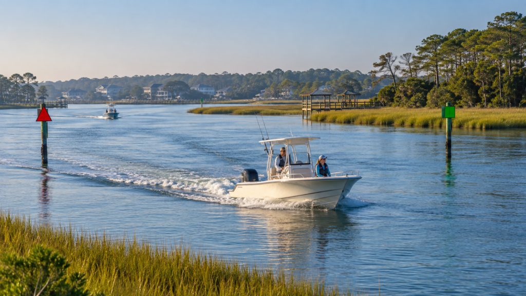
The Intracoastal Waterway provides a protected boating route along much of the Atlantic and Gulf coasts. Near Sneads Ferry, it connects local waterways with coastal destinations, inlets, marinas, and fishing areas.
However, protected does not mean hazard-free. Visitors using the Intracoastal Waterway in North Carolina should understand local conditions before leaving the dock.
The Waterway Is Not One Uniform Channel
The Intracoastal Waterway includes rivers, sounds, canals, and dredged channels. Its width, depth, current, and level of boat traffic can change throughout a trip.
Around Sneads Ferry, boaters may also navigate parts of the New River, nearby creeks, and the New River Inlet. Each environment requires different judgment.
The campground’s guide to Sneads Ferry fishing seasons explains how tides, bait movement, and local waterways influence fishing throughout the year.
Learn the Channel Markers
On the Intracoastal Waterway, yellow symbols help boaters identify the route. Red and green markers still indicate the sides of the navigable channel, but their meaning depends on your direction of travel.
Do not rely on memory alone. Review current navigation rules and carry updated charts. The U.S. Coast Guard’s Navigation Rules explain meeting, crossing, and overtaking responsibilities.
Slow down whenever markers are difficult to see or the route is unfamiliar.
Check Tides, Depth, and Weather
Water depth can vary considerably outside the marked channel. Wind may also push water into or away from shallow areas, making the actual conditions different from a simple tide prediction.
Before boating on the Intracoastal Waterway in North Carolina:
- Review the marine forecast
- Check local tide predictions
- Confirm the vessel’s draft
- Identify bridges and fixed obstructions
- Mark safe fuel stops and emergency access points
- Ask locally about recent shoaling
Use official NOAA nautical charts rather than depending entirely on a recreational phone app.
Expect Different Types of Traffic
The waterway is shared by fishing boats, sailboats, personal watercraft, kayaks, commercial vessels, and larger cruising boats.
Maintain a proper lookout and avoid making sudden course changes. Reduce your wake near docks, marinas, paddlers, and smaller vessels. Busy periods may require patience, particularly around ramps and narrow channels.
Guests interested in local boating settings can also explore the campground’s guide to coastal sunrise locations.
Prepare Before Launching
Create a float plan that states where you are going, who is aboard, and when you expect to return. Carry properly fitted life jackets, communication equipment, drinking water, navigation lights, and emergency supplies.
If you are unfamiliar with the area, begin with a short daytime trip in good weather. A local captain or boating course can also help you understand currents, shallow areas, and inlet conditions.
Stay Close to the Water
An RV campground near a ramp, dock, or boat-storage area can simplify your routine. It reduces towing time and makes it easier to respond to changing weather.
Review the waterfront RV campground guide when choosing a base for your trip. With good preparation and respect for local conditions, the Intracoastal Waterway in North Carolina can become a memorable part of your Sneads Ferry stay.